Maps List
This will be a place to inventory all maps available of the Sanctuary and the area.
Status: This list is incomplete, preliminary, and unofficial.
Sanctuary
• “Grannies” map: topographic (approx), shows major and planned features (buildings, water/power lines, etc); developed for the Conditional Use Permit, so much has changed since those plans.
Two sheets of large-format paper. Author: grand-planning circle. Date: early 90’s.
Copy on Office wall. Mugwort has the main version; it’s also been scanned.
Neighborhood
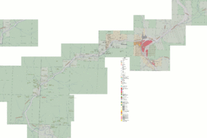
Parcels: address, tax lot, size, owner, zoning. Along Wolf Ck Rd from Grave Ck Rd to town, also parcels near us.
Data and base map came from Josephine County GIS; text annotations added for parcel info, taken from the county GIS.
GIF 1MB, produced from Gimp XCF. Author: Mugwort. Updated; 2013 and ongoing.
Edited by mugwort on May 30, 2013 2:29 pm

